
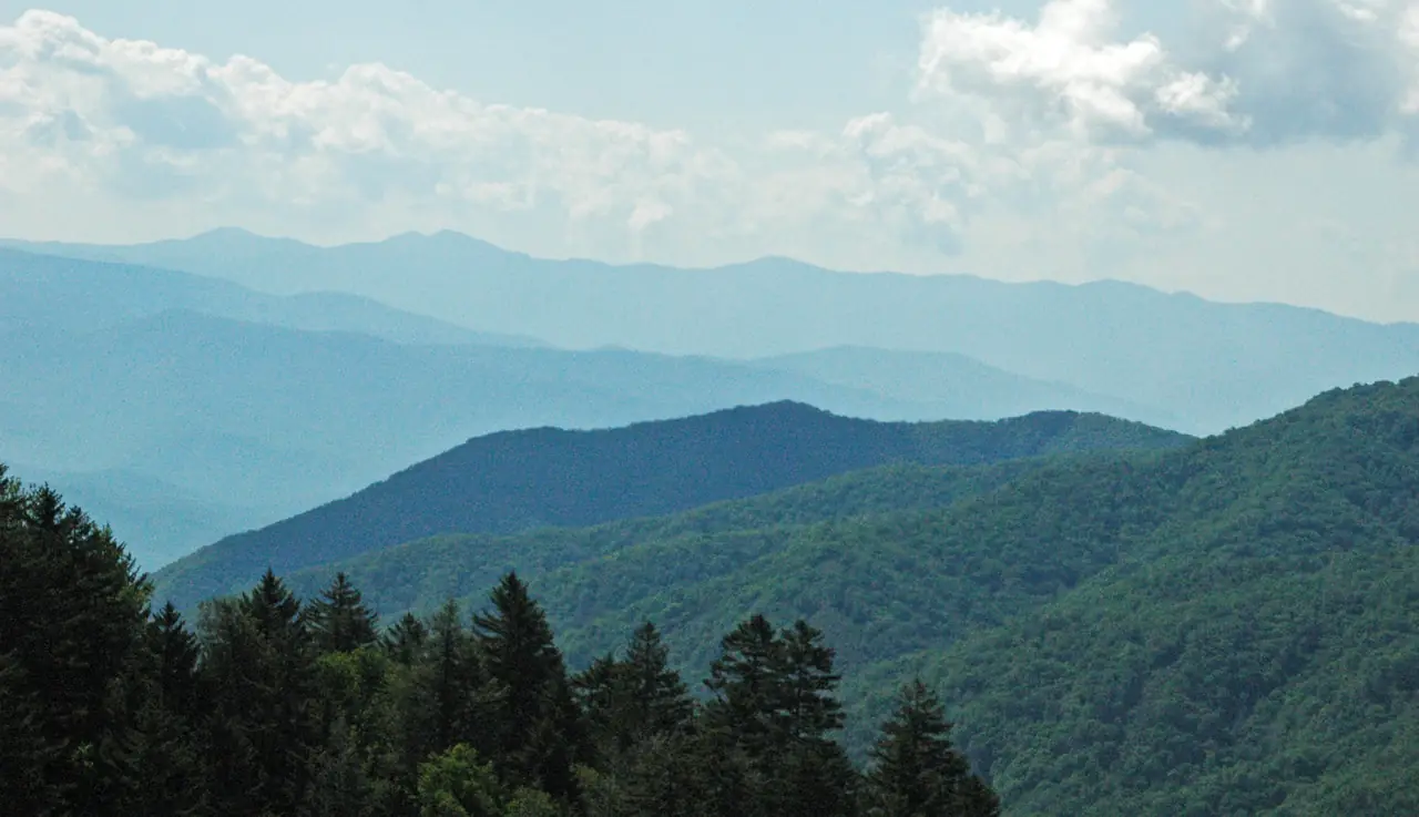
Great Smoky Mountains · Fly into Knoxville
The Smokies start at Knoxville's airport.
Townsend, on the edge of America's most visited national park, is 21.1 road miles from the TYS terminal. Plan the airport, the towns, the parking tag and the seasons with tools built on National Park Service data and real road distances.
Photo: James St. John, CC BY 2.0 / Wikimedia Commons
Short answer
Fly into Knoxville McGhee Tyson (TYS). It is the closest airport with airline service to Gatlinburg, Pigeon Forge and the Tennessee side of Great Smoky Mountains National Park: 45.3 miles (about 1h 14m) to Gatlinburg and 21.1 miles to Townsend, with nonstops from 36 cities. The park has no entrance fee, but parking longer than 15 minutes needs a tag: $5 a day, $15 a week or $40 a year.
National Park Service figures
The park, by the numbers
Plan the trip
Everything for a fly-in Smokies trip.



Interactive
Where should you stay?
The towns around the park are close on a map and far apart in the car. Choose what you want to see and the towns re-rank by total drive time for the whole trip, airport runs included.
Pick the places you want to see:
- Gatlinburg2h 28m
- Pigeon Forge2h 00m
- Sevierville1h 42m
- Townsend1h 10m
- Wears Valley1h 40m
- Cosby2h 52m
- Downtown Knoxville1h 04m
- Cherokee, NC4h 42m
- Bryson City, NC5h 06m
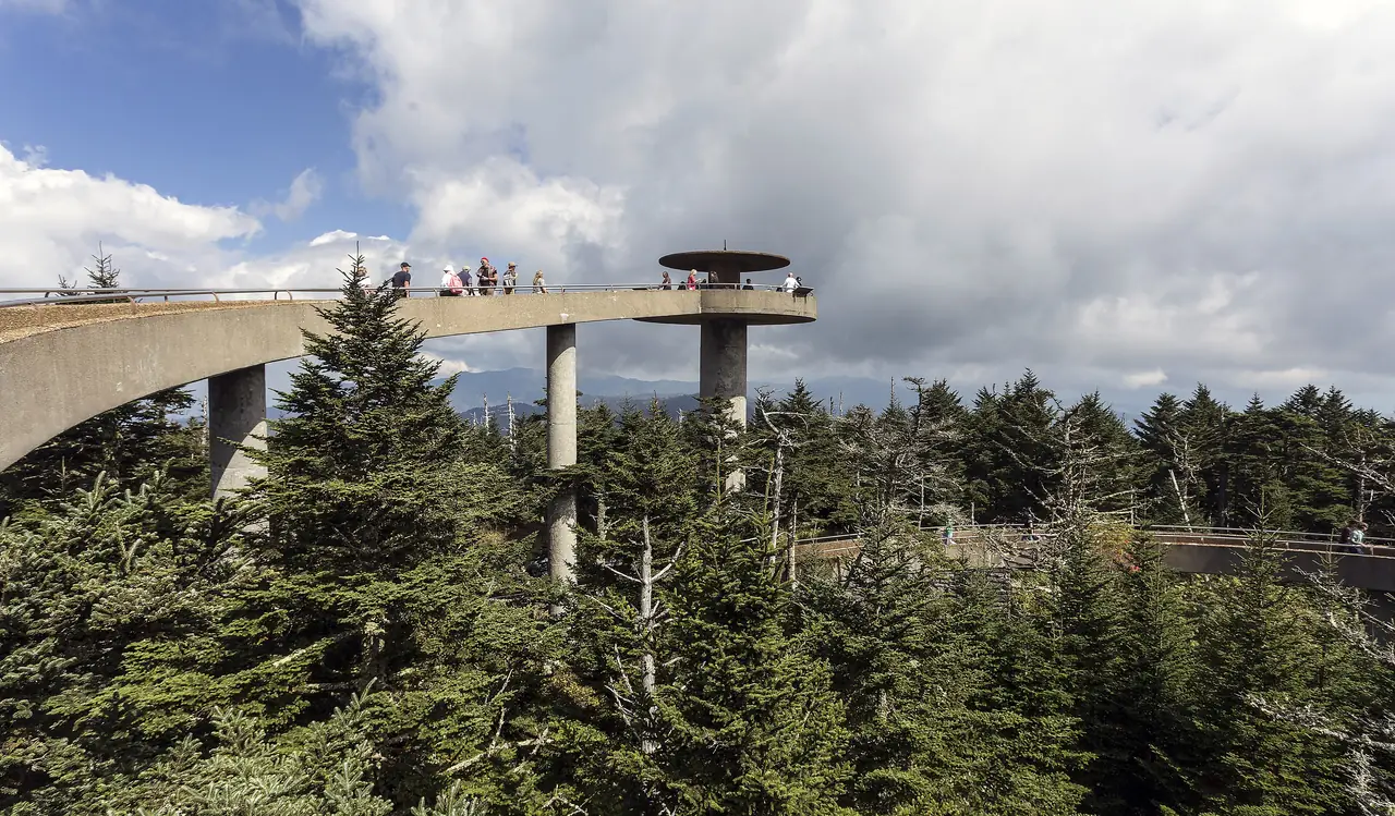
Each stop counts as a round trip from your base, plus one round trip to Knoxville's airport. Times are free-flow OSRM estimates; summer and October weekends on the Parkway run slower. Kuwohi Road is seasonal (open Apr 1 to Nov 29 in 2026).
No entrance fee
Free to enter. Not free to park.
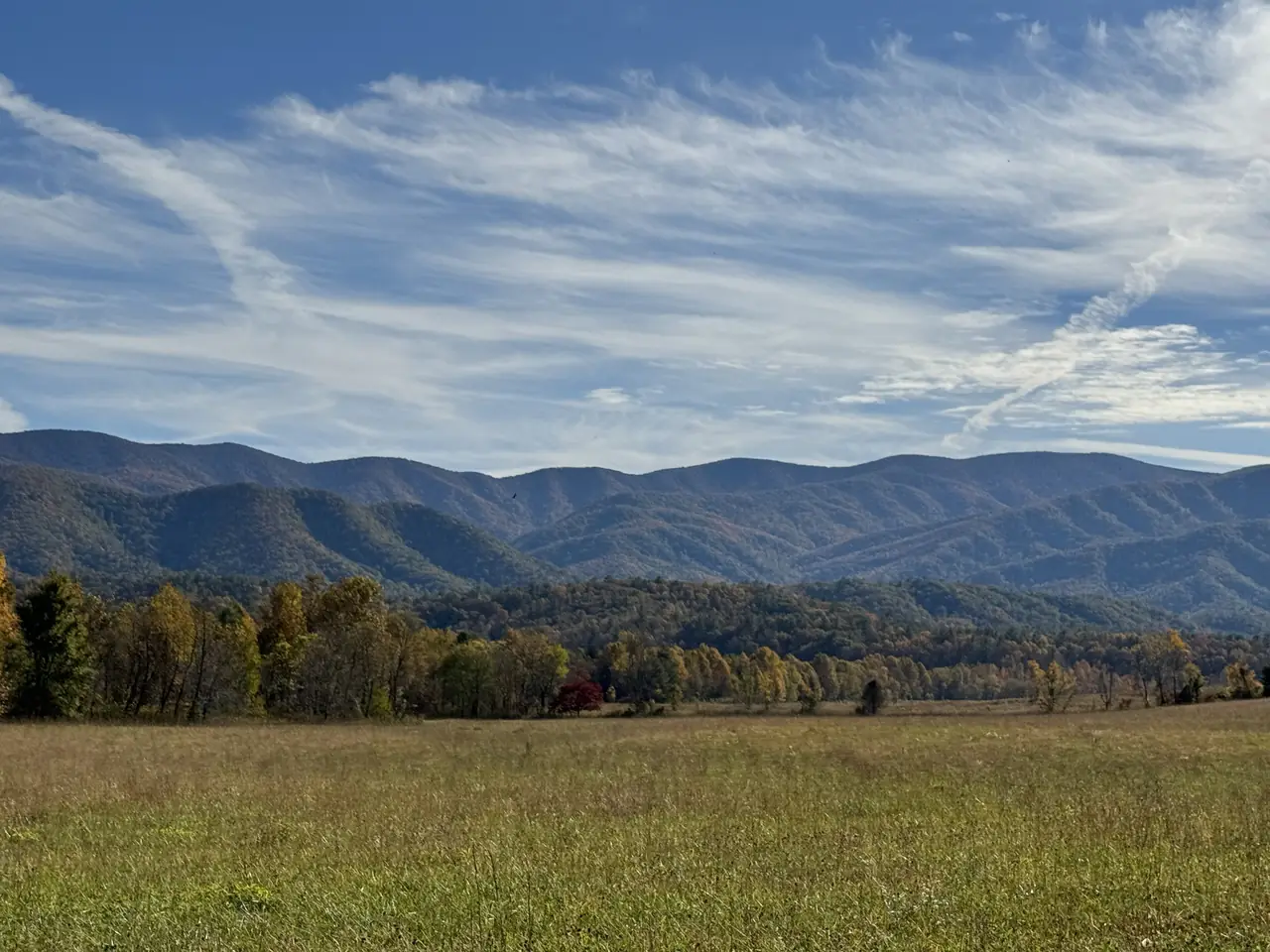
NPS charges no entrance fee, but every car parked longer than 15 minutes needs a physical tag on the dash or windshield. Driving through the park needs none.
Photo: Rhododendrites, CC BY-SA 4.0 / Wikimedia Commons
Real road distances
Drive times from the TYS terminal
Road miles and free-flow time from Knoxville's airport, calculated with OSRM on OpenStreetMap roads. Add time for traffic, especially on the Pigeon Forge Parkway and in Gatlinburg on busy weekends.
| From TYS to | Miles | Drive (no traffic) |
|---|---|---|
| Gatlinburg | 45.3 mi | 1h 14m |
| Pigeon Forge | 38.4 mi | 1h 00m |
| Dollywood | 39.3 mi | 1h 10m |
| Sevierville | 32.3 mi | 51 min |
| Townsend | 21.1 mi | 35 min |
| Cades Cove Loop | 32.3 mi | 1h 03m |
| Sugarlands Visitor Center | 40.6 mi | 1h 17m |
| Newfound Gap | 53.5 mi | 1h 44m |
| Kuwohi parking area | 60.7 mi | 2h 12m |
| Oconaluftee Visitor Center | 69.3 mi | 2h 14m |
| Cherokee, NC | 72.8 mi | 2h 21m |
Two states
Tennessee side or North Carolina side?
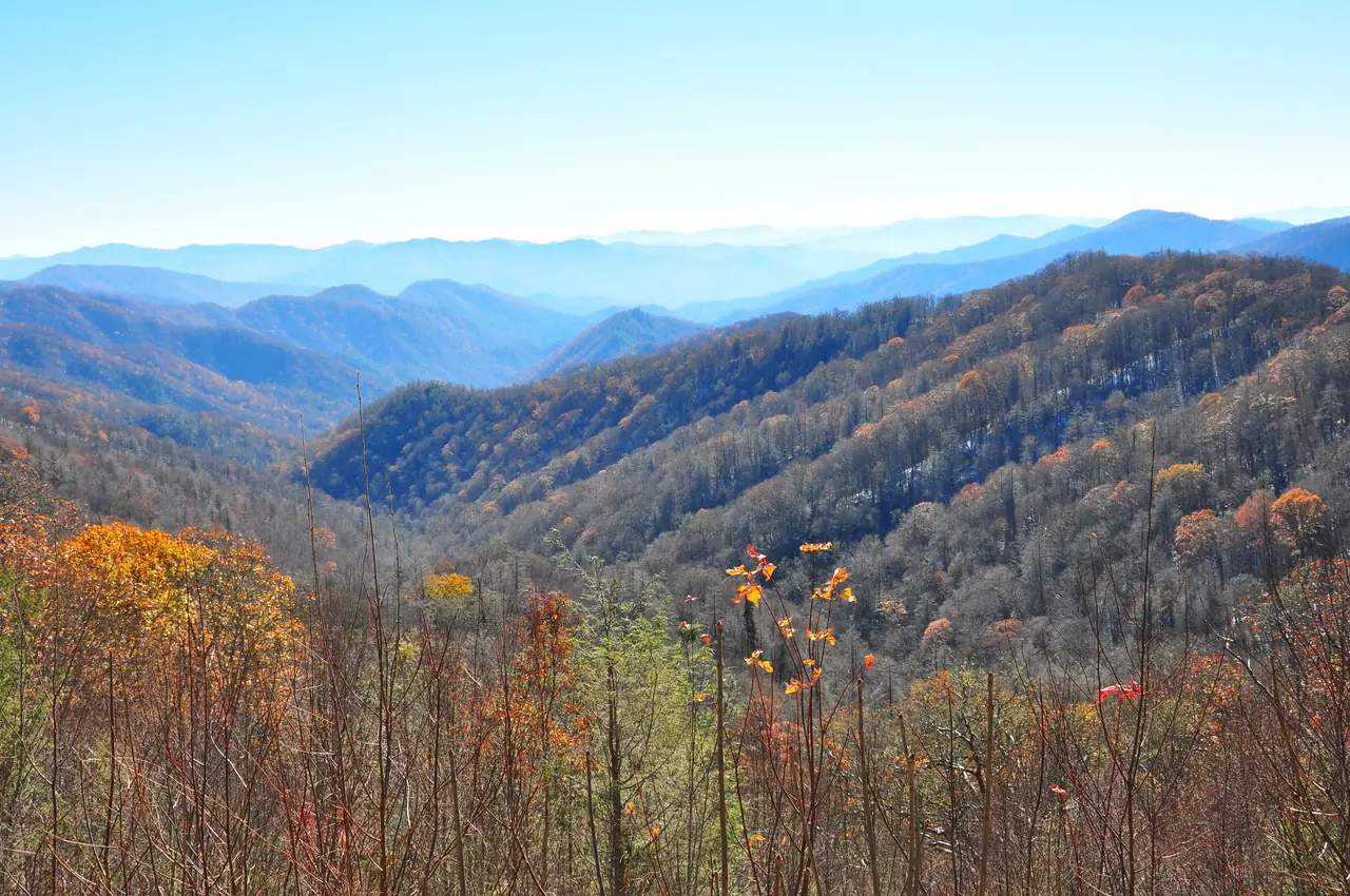
Gatlinburg, Pigeon Forge, Townsend and Cades Cove are on the Tennessee side, closest to TYS. Cherokee and Bryson City are on the North Carolina side, where Asheville's airport is closer. Newfound Gap Road links the two over a 5,046-foot pass.
Photo: Pexels
Request a nonstop
Where should Knoxville fly next?
Name the city. Every request is counted and the leaderboard goes to the airport's air-service team, the people who pitch new routes to airlines.
… requests from TYS so far
- Loading the leaderboard…
Plan more
Questions
What is the closest airport to the Smoky Mountains?
Does Great Smoky Mountains National Park charge an entrance fee?
How many people visit the Smokies?
How far is the drive from Knoxville airport to Gatlinburg?
Is Knox Nonstop the park or the airport?
Sources
- NPS: 2025 visitation statistics release (Mar 13, 2026)
- NPS: Park statistics
- NPS: Frequently asked questions (updated Sep 28, 2026)
- NPS: Fees and passes, parking tags (updated Oct 8, 2026)
- NPS: Newfound Gap overlook
- NPS: Seasonal road schedule (updated Apr 20, 2026)
- OSRM driving routes on OpenStreetMap data (free-flow, fetched Oct 19, 2026)
- McGhee Tyson Airport: nonstop flights