
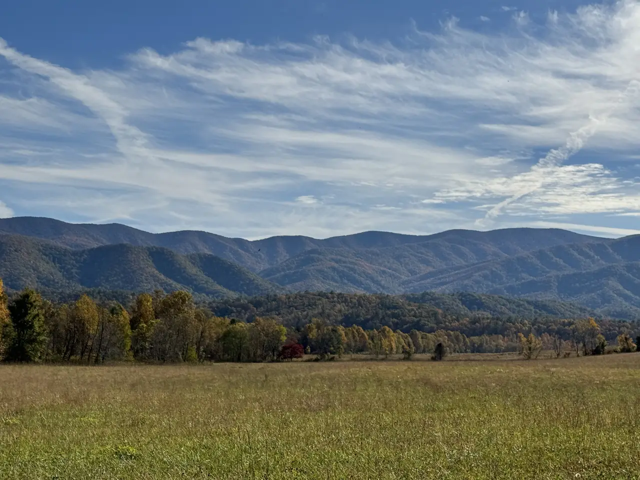
Great Smoky Mountains · The quiet side
Cades Cove: 11 miles, one way.
The loop through the cove is the Smokies' slow drive: one lane, one direction, two to four hours. It is also 32.3 miles from Knoxville's airport, the closest major park area to TYS.
Photo: Missvain, CC BY 4.0 / Wikimedia Commons
Short answer
The Cades Cove Loop Road is an 11-mile, one-way loop, open to vehicles from sunrise to sunset. NPS says to allow two to four hours. From May through September it is closed to cars on Wednesdays: in 2026 that ran from May 6 to September 30. From Knoxville's airport it is 32.3 miles, about 1h 03m without traffic.
Interactive
Can I drive the loop that day?
Pick a date. The checker applies the NPS vehicle-free schedule, fee-free days and the Cable Mill season, and calculates sunrise and sunset at the cove so you know the loop's open window.
The loop can still close for weather, wildlife or incidents. Check NPS current closures on the day.
Pick a date
On the 2026 schedule, Wednesdays from May 6 to September 30 are vehicle-free. Every other day the loop is open to cars from sunrise to sunset.
May 2026
June 2026
July 2026
August 2026
September 2026
Vehicle-free Wednesdays
One day a week, the cove is quiet.
On vehicle-free Wednesdays the whole loop is open only to people on foot and on bikes. Plan a walk or a ride, or move your drive to another day.
Photo: Missvain, CC BY 4.0 / Wikimedia Commons
Know before you go
The loop, in facts.
The loop circles the cove in one direction (NPS).
Open to vehicles daily outside vehicle-free days (NPS).
NPS: allow at least two to four hours.
Open daily March 15 to November 29, 2026, near the midpoint of the loop.
At the Cable Mill area (USGS elevation data).
Rich Mountain Road: 04/10 to 11/09, 2026; Parson Branch Road: 05/01 to 11/09, 2026.
Drive times
Getting there from the airport
Cades Cove is the closest major park area to TYS. The route runs through Maryville and Townsend on US-321, then Laurel Creek Road into the cove.
The last town before the park on this side.
Free-flow time to the start of the loop road.
Via Little River Road inside the park.
Free-flow OSRM estimate.

Plan more
Questions
How long is the Cades Cove loop?
What days is Cades Cove closed to cars?
What time does Cades Cove open?
How far is Cades Cove from the Knoxville airport?
Do you need a parking tag for Cades Cove?
When is the Cable Mill area open?
Sources
- NPS: Cades Cove (updated Jan 21, 2026)
- NPS: Cades Cove vehicle-free days (updated Feb 9, 2026)
- NPS: Visitor centers (updated Jan 3, 2026)
- NPS: Seasonal road schedule (updated Apr 20, 2026)
- NPS: Current road, facility and trail closures (updated Oct 15, 2026)
- NPS: Fees and passes, parking tags (updated Oct 8, 2026)
- OSRM driving routes on OpenStreetMap data (free-flow, fetched Oct 19, 2026)
- USGS 3DEP 10 m elevation via OpenTopoData (point lookups, Oct 19, 2026)